
Whenever Delhi-NCR folks think of a weekend getaway, they rush toward the hills. They look up Hill Town in Himachal or post aesthetic reels from Rishikesh.
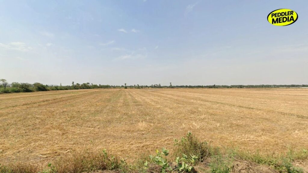
But let’s be real for a second. More than 95% of Haryana is just endless, beautiful, and absolutely flat land.
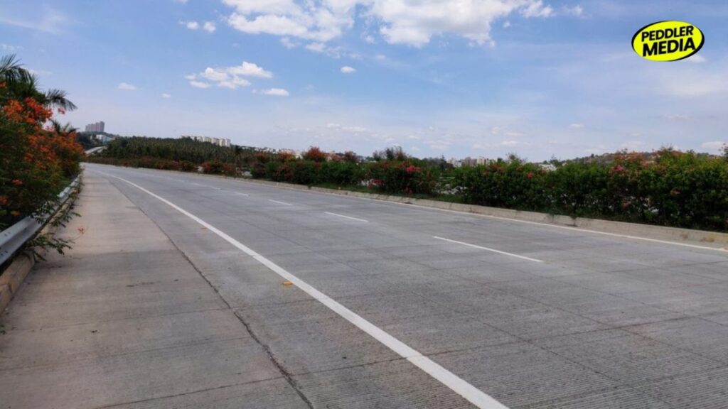
If you are driving down the NH-9 toward Hisar, cruising through Jind, or stopping for a Hukka break in Rohtak, you won’t see a single rock. It’s just fields, open skies, and highways stretching to eternity.
But here is a geographical plot twist that will break your brain: The Haryana flat plains are not actually flat.
There is an invisible, hidden slope running right under your tires, and some of your favorite “sapat” (flat) districts are sitting way higher in the sky than others. Intrigued? Let’s talk about the secret altitude wars of Haryana.
1. Jind: The Hidden ‘High Ground’ of Haryana
You won’t find a single trekking trail here, but structurally, Jind is the undisputed king of the Haryana flat plains. It sits at a whopping 234 meters (767 feet) above sea level.
- The Vibe: When you are hanging out around Narwana, you are technically standing on the “roof” of Haryana’s agricultural belt. Everything else slopes down from here.
2. Hisar: The Desert Slant
Hisar is famous for its extreme temperatures and hardcore vibe. But its geography is just as dramatic.
- The Vibe: The area near Barwala (Jind Border) sits high at 229 meters. But as you drive toward Rajasthan, the land takes a massive dive. It’s like a giant natural slide that gently drops you right into the sand dunes of the Thar desert.
3. Rohtak: The Ultimate ‘Saucer’ Shape
Rohtak is the heart of Haryana’s political and pop-culture scene, but geologists call its shape a “saucer” (like a deep plate or Chilamchi).
- The Vibe: The borders near Jind are high (225 meters), but the center of the district dips down. This is why whenever it rains cats and dogs, Rohtak’s streets quickly turn into accidental swimming pools. It’s literally built like a bowl!
4. Sonipat: The Murthal Gradient
Everyone knows Sonipat for the iconic Dhabas of Murthal and paranthas swimming in white butter. But the land here is playing a game with the Yamuna River.
- The Vibe: The highest point is hidden away in the North-West near Gohana (220 meters). As you drive east toward the Yamuna banks, the land drops lower and lower. You are literally eating your paranthas on a downhill slope!
5. Sirsa: The Floor of the State
If Jind is the ceiling, Sirsa is the floor of the Haryana flat plains. Sitting at just 205 meters (672 feet), it is the lowest plain district in the entire state.
- The Vibe: Because it sits so low, rivers like the Ghaggar naturally flow downhill across the state and end up collecting at the Otu Barrage here.
Haryana Flat Plains Ultimate Global Flex: The Invisible Spine of India
Here is the ultimate fact you can use to flex on your friends during the next car ride. The Haryana flat plains do something that the famous American Great Plains or Argentine Pampas can never do.
Haryana is a Great Global Water Divide.
The state sits right on the invisible ridge that separates the two grandest river systems in South Asia: The Indus (Sindh) and The Ganga.
Read More:- Nobody Talks About How Different Urban and Rural Haryana Actually Are
If a raindrop falls on the high grounds of Gohana, it slides east into the Ganga network and ends up in the Bay of Bengal. But if a drop falls just a bit to the west in Jind, it tilts toward the Indus network and flows into the Arabian Sea.
So next time you are staring out of the window on a Haryana highway, remember—you aren’t just looking at flat farmland. You are driving on the invisible spine of Indian geography.
Follow Peddler Media For More Updates | Instagram | Facebook | Youtube | Pinterest