Want To Know Haryana? Travel These 7 State Highways
Want to see the real side of the state? Skip the big expressways and explore Haryana through these 7 state highways to experience raw culture, local life, and street food firsthand.
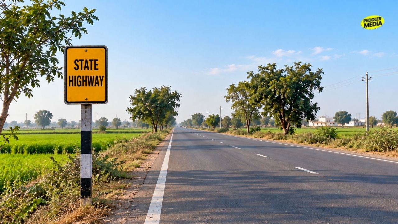
Most outsiders only see Haryana from the windows of a car on a big national highway. They see wide toll plazas, concrete bridges, and factory walls while driving through to reach Delhi or the mountains. But you cannot learn the spirit of a place from an expressway. If you truly want to explore Haryana, you have to look at the inner roads that connect its actual people.

If you are curious about the raw culture of Haryana, planning a Haryana road trip across these 7 specific state highways is the only way to experience the true essence of the state from every single angle. You will see how the landscapes, local economies, and daily life in Haryana change from one district to another.
1. SH-4: Kala Amb to Thol
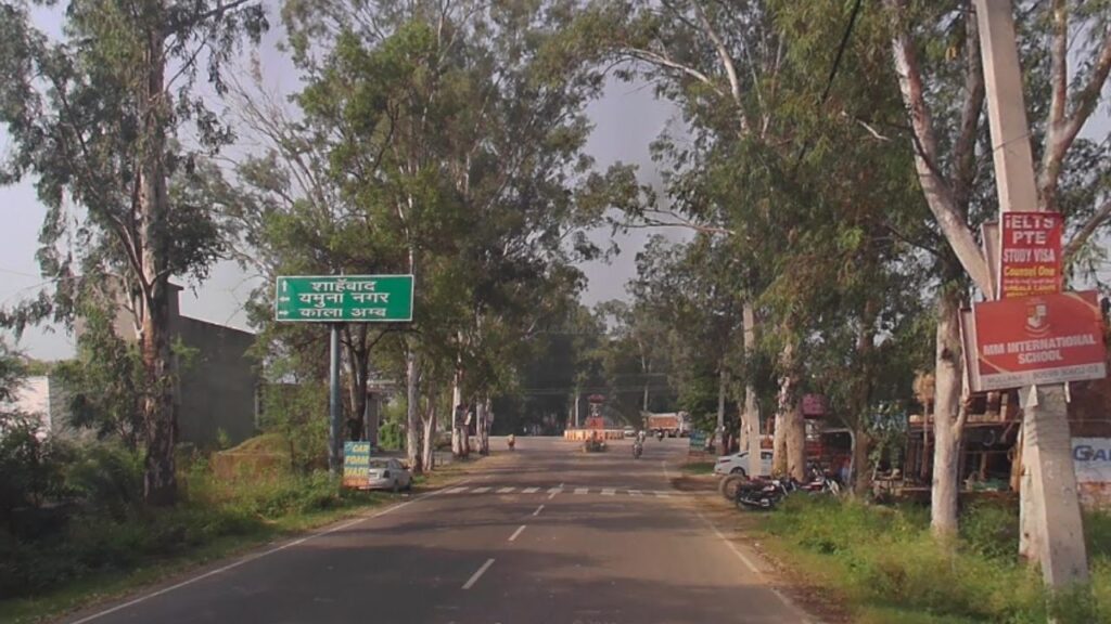
Starting right at the Himachal border at Kala Amb, this route takes you through the northern farming belt. This region is the famous agricultural backbone of the state. Driving past the massive paddy fields and market junctions gives you a first-hand view of everyday life and explore Haryana strong connection to the soil.
| Feature | Details |
|---|---|
| Total Distance | 75.50 Kilometres |
| City | Shahbad, Sadhaura |
| Major Town | Thol, Kala Amb Border |
| Best Attraction | Shahbad Hockey Stadium (The Nursery of Indian Women’s Hockey) |
| Place to Visit | Markandeshwar Temple, Historic Fort Ruins in Sadhaura |
| Local Economy | Chemical units (Kala Amb border), Rice Shellers & Husk processing plants, Shahbad Sugar Mill |
| People & Culture | Language: Nardaki and Puadi Haryanvi heavily code-switched with Hindi-Punjabi. Demographics: Strong presence of Hindu & Sikh Jats, Sainis, Ror, and Balmiki communities. |
| Food Points | Dhabas on NH-44 junction near Shahbad, Roadside Sugarcane juice stalls |
2. SH-10: Gohana to Bhadra
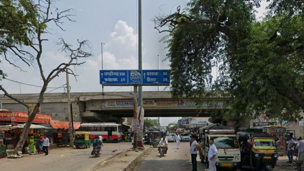
This highway links central Haryana directly to the western edge of the state. By bypassing the big commercial cities, it takes you deep into rural Haryana through historic areas and busy grain market towns. The wide landscapes and simple rural markets along this road offer a clear picture of how traditional communities live away from urban rush.
| Feature | Details |
|---|---|
| Total Distance | 135.82 Kilometres |
| City | Jind, Gohana, Barwala, Adampur |
| Major Town | Agroha, Landhari, Bhadra border |
| Best Attraction | Agroha Dham Temple Complex & Archaeological Mound |
| Place to Visit | Rani Talav (Jind), Ancient Fort remnants at Gohana |
| Local Economy | Matu Ram Jalebi trading in Gohana, Jind Poultry Equipment Industries, Cotton pressing units in Adampur |
| People & Culture | Language: Central Bangru (traditional Haryanvi) shifting into Western Bagdi past Adampur. Demographics: Dominantly Jat (Deswali), Bishnoi, Bania/Agrawal traders, and Saini communities. |
| Food Points | The iconic massive Jalebis of Gohana, Local dairy milk products in Jind |
3. SH-12: Karnal to Sudhiwas
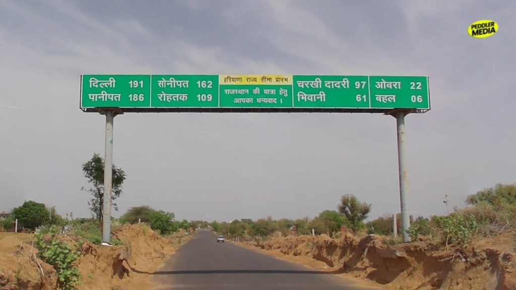
This massive highway cuts straight through the middle of the state. It begins near the historic city of Karnal, crosses deep into the traditional heartland of Jind, and ends at the Rajasthan border. If you travel this road, you will notice that the local culture of Haryana changed every 30-35 kilometers.
| Feature | Details |
|---|---|
| Total Distance | 192.32 Kilometres |
| City | Karnal, Hansi, Tosham, Jind, Assandh |
| Major Town | Nissing, Jai Jai Wanti, Narnaund, Behal, Sodiwas |
| Best Attraction | Tosham Rocky Hills & Ancient Rock Inscriptions |
| Place to Visit | Asigarh Fort (Hansi Prithviraj Chauhan Fort), Karna Lake (Karnal) |
| Local Economy | Hansi Sweet Manufacture (Peda cluster), Stone Crushing & Mining units in Tosham hills, Rice export packaging houses in Nissing |
| People & Culture | Language: Khadar-Kaurvi in Karnal, Bangru in Jind-Hansi, Pure Bagdi in Tosham/Behal. Demographics: Ror (dominant in Karnal rural), Jat (dominant in Jind/Hansi), Rajput, Gujjar, and Kumhar communities. |
| Food Points | World-famous Hansi Ka Peda, Local Bajra Roti & Homemade Butter at Tosham village pitstops |
4. SH-13: Gurugram to Alwar
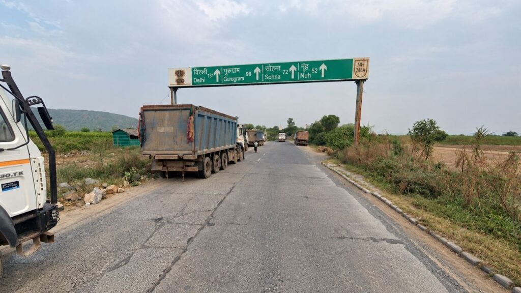
This road starts at the glass buildings of Gurugram and takes you straight into the Mewat region. It is a striking contrast. You move from a global corporate city into a valley flanked by the ancient Aravalli hills, passing through historic towns. Local culture, unique Mewati dialect, and lifestyle here are completely different from the northern farming districts.
| Feature | Details |
|---|---|
| Total Distance | 137.40 Kilometres |
| City | Gurugram, Sohna, Nuh, Ferozepur Jhirka |
| Major Town | Nagina (Badkali Chowk), Ghasera, Bhadas |
| Best Attraction | Sohna Sulphur Hot Springs & Aravalli Valley Views |
| Place to Visit | Ghasera Fort (Historic Gandhi Village), Shaking Minarets of Nuh |
| Local Economy | Automobile ancillaries (Sohna Road), Slate stone quarries, Transport and Logistics fleet operations in Mewat |
| People & Culture | Language: Ahirwati near Sohna shifting completely into the distinct Mewati dialect. Demographics: Muslim Meo community, alongside Ahir/Yadav, Gujjar, and Scheduled Castes. |
| Food Points | Shikwa Restaurant/Local Mewati Biryani points in Nuh, Fresh Paneer & Milk vendors along Ferozepur Jhirka route |
5. SH-17: Nizampur to Munak
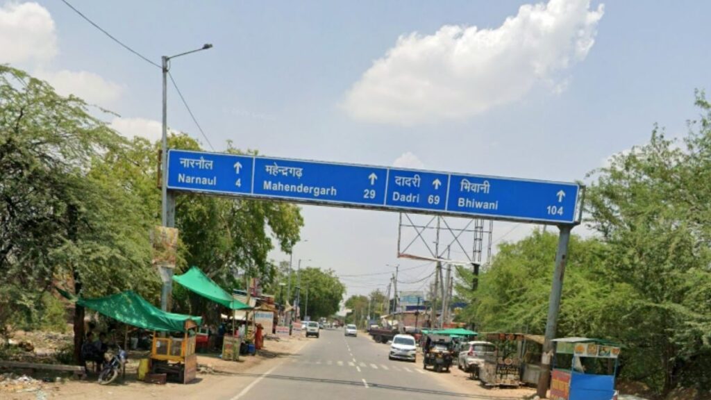
This Haryana road trip is the longest state corridor, stretching from the dry hills of Nizampur all the way to the Punjab border at Munak. Driving this route is like watching the land change before your eyes. You start in the rocky terrains, move through cattle and textile hubs, and end up in the green, irrigated fields near Punjab. It gives you a complete view of the state’s geographical diversity.

| Feature | Details |
|---|---|
| Total Distance | 199.74 Kilometres |
| City | Narnaul, Mahendragarh, Charkhi Dadri, Bhiwani, Hansi |
| Major Town | Nizampur, Barwala,Tohana, Munak border |
| Best Attraction | Dhosi Hill (Extinct Volcano & Ancient Hermitage near Narnaul) |
| Place to Visit | Jal Mahal (Narnaul), Charkhi Dadri local stepwells, Bhiwani textile markets |
| Local Economy | Marble processing plants in Narnaul, Bhiwani Textile Mills & Powerlooms, Canal engineering works in Tohana |
| People & Culture | Language: Ahirwati in the south ➔ Central Bangru in Bhiwani/Hansi ➔ Heavy Punjabi mix Hindi near Tohana. Demographics: Ahir/Yadav (dominant south), Jat (dominant central/north), Gujjar, Rajput, and Arora-Khatri trader pockets. |
| Food Points | Local Marwari-influenced Kachoris in Narnaul, Desi Dhabas outside Tohana junction near Punjab border |
6. SH-24: Rewari to Loharu
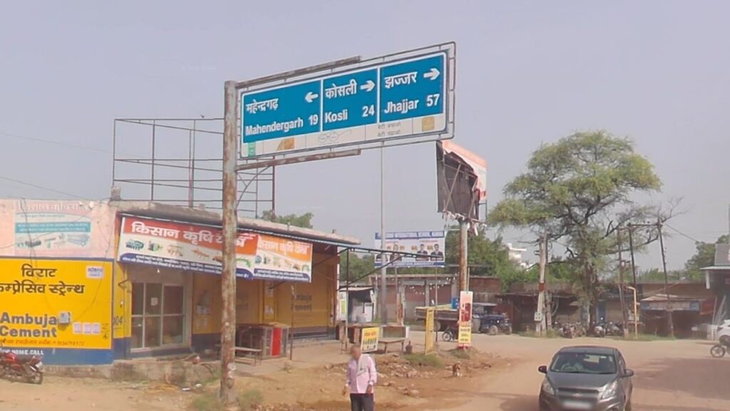
This route cuts right across the southern semi-arid strip of the state, starting from the historic hub of Rewari, crossing through the core Ahirwal plain, and ending at the desert border town of Loharu. Traveling this road shows you a brilliant geographical and culture of Haryana shift where the green fields slowly give way to the shifting sands of the Rajasthan border.
| Feature | Details |
|---|---|
| Total Distance | 92.45 Kilometres |
| City | Rewari, Mahendragarh, Loharu |
| Major Town | Dahina, Kanina, Satnali |
| Best Attraction | Mahendragarh Fort Remains, Satnali Sand Dunes |
| Place to Visit | Bada Talab (Rewari Heritage Tank), Historic Havelis of Loharu Princely State |
| Local Economy | Rewari Brass Sheet clusters, Slate Stone mining units, Local Mustard Oil Mills |
| People & Culture | Language: Pure Ahirwati dialect shifting rapidly into a rustic Bagdi accent towards Satnali/Loharu. Demographics: Highly concentrated Ahir/Yadav belt, Jats, Rajputs, and local artisan groups. |
| Food Points | Famous Rewari Til-Gajak sweets, Roadside tea stalls serving thick milk tea with fresh Bajra snacks near Satnali |
7. SH-2: Surewala Chowk to Fatehabad
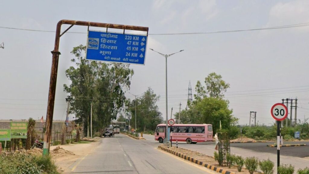
Tucked away in the inner western plains, this road connects the rural junction of Surewala Chowk to Fatehabad. It runs entirely through quiet market towns and rural settlements. Traveling this road shows you the unhurried pace of small-town life where everything revolves around the seasonal harvest cycles.
| Feature | Details |
|---|---|
| Total Distance | 47.91 Kilometres |
| City | Fatehabad, Uklana Mandi |
| Major Town | Bhuna, Surewala |
| Best Attraction | Bhuna Local Agro Mills, Ghaggar River Canals |
| Place to Visit | Ashokan Pillar & Humayun Mosque complex |
| Local Economy | Cotton Ginning Factories, Grain Mandi Logistics, Agri-machinery welding hubs |
| People & Culture | Language: Bagdi dialect transition zone mixed with a strong Punjabi accent. Demographics: Dominantly Jat, Bishnoi, Arora-Khatri (Punjabi), and Scheduled Caste groups (like Bazigar and Dhanak). |
| Food Points | Jalebi and Milk Sweets at Uklana Mandi Market, Roadside truck dhabas near Bhuna crossroad |
8. Bonus Loop: Palwal, Hathin, Punhana, and Hodal
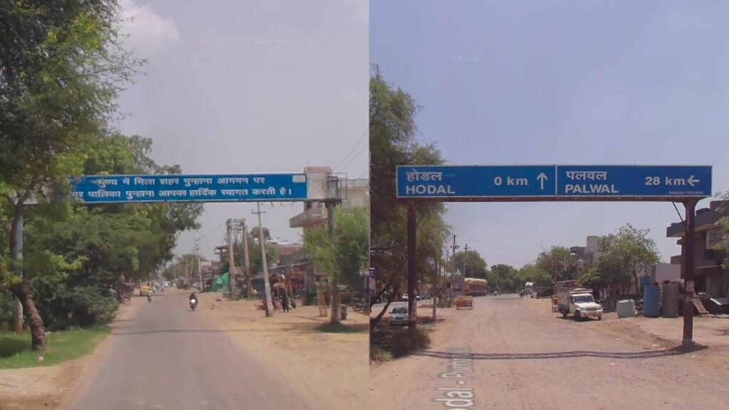
If you want to explore Haryana beyond its numbered highways, head to the far southern edge of the state. While this specific path relies on busy Major District Roads rather than a single numbered state highway, it is a critical corridor to understand daily life in Haryana. Taking a Haryana road trip through these crowded local markets and farming networks lets you see the true, deep culture of Haryana away from the fast lanes.
| Feature | Details |
|---|---|
| Total Distance | 78.40 Kilometres (Approximate Loop) |
| City | Palwal, Hodal, Punhana |
| Major Town | Hathin, Uttawar, Bhadas, Pinangwan link |
| Best Attraction | Historical stepwells of Hodal, Local clay pottery clusters, Ancient minarets of Mewat border |
| Place to Visit | Bada Talab heritage tank, Punhana local historic shrines, old colonial rest houses |
| Local Economy | Mustard oil processing mills, traditional pottery works, transport logistics, and rural trading mandis |
| People & Culture | Language: Distinct Mewati, Ahirwati, and Braj-influenced dialects with a soft local accent. Demographics: Pockets of Meo Muslims, Ahir/Yadav, Jats, Gujjars, and traditional artisan communities. |
| Food Points | Freshly fried hot kachoris at town halwais, slow-cooked local Mewati dishes near Punhana crossroad, thick slow-boiled milk tea |
Finding the Real Haryana On Ground
For most people, Haryana is just a flat patch of land they cross quickly to get somewhere else. But if you want to look past the usual stereotypes and see the actual spirit of the people, you have to step off the fast commercial lanes. You need to travel the simple state roads that connect the small, quiet towns where the true history and life of the state are lived every single day.
Peddler Media is the first formal digital portal in the country documenting Haryanvi pop culture completely unfiltered. If you are an underground artist, have a viral story, or got a raw news scoop, head straight to our Submit a Tip page and drop the details with us.
Follow Peddler Media For More Updates | Instagram | Facebook | Youtube | Pinterest